Science

Top Stories
Oct 30 2016
Sony Announces 2 Licensed 'Elite' PS4 Controllers From Razer, Nacon
Oct 30 2016
Celtic into cup final after late Dembele strike sinks Rangers
Oct 29 2016
Former Nurse Accused Of Murdering 8 Nursing Home Patients In Canada
Oct 29 2016
UGA's season on the brink heading into 'Cocktail Party'
Oct 29 2016
Make Halloween fun ... but safe
Latest News
-
Oct 31 2016
Clemson holds on in wild affair, tops Florida State 37-34 -
Oct 31 2016
Sir Alex Ferguson still 'the boss' for Burnley goalkeeper Tom Heaton -
Oct 31 2016
Sanders urges government to kill AT&T-Time; Warner merger -

Oct 30 2016
Syrian rebels announce new offensive to break Aleppo siege -
Oct 30 2016
United States judge approves Volkswagen emissions settlement -
Oct 30 2016
Qualcomm acquires NXP Semiconductor in a cash deal worth $47 billion -

Oct 30 2016
Donald Trump's Walk of Fame Star Destroyed -

Oct 30 2016
Did Hillary Clinton put too many eggs in Bill's basket? -

Oct 30 2016
Hillary Plays Second Fiddle to Michelle at Her Own Campaign Rally -
Oct 30 2016
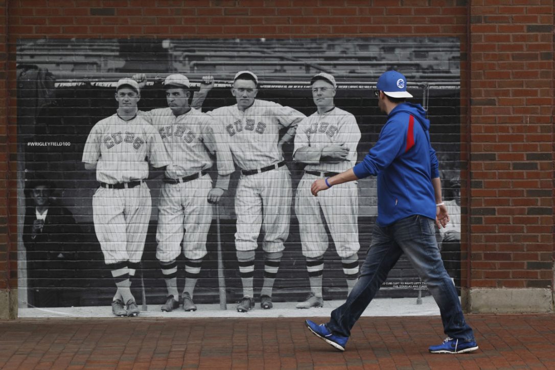
World Series returns to Wrigley Field for first time since 1945
Other News
-
Oct 30 2016
Giroud's 1st Arsenal goals of season add to Sunderland woes -

Oct 30 2016
Arrestor beds help prevent disaster on Pence's campaign jet -

Oct 30 2016
U.S. Doesnt Know Who Will Attack ISIS HQ -
Oct 30 2016
Leicester's stars a different class in Europe -

Oct 30 2016
Tesla chief Elon Musk unveils solar roof tiles -
Oct 30 2016
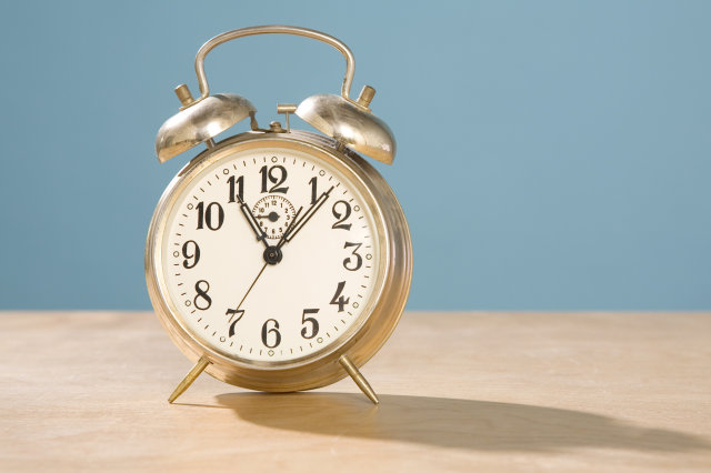
Time for change: Don't forget! Clocks go back 1 hour on Sunday -

Oct 30 2016
Bayern wins again, promoted Leipzig keeps pace in Bundesliga -

Oct 30 2016
Police officer killed, sheriff's deputy injured in separate hit-and-runs -

Oct 30 2016
Michael Phelps Secretly Married Nicole Johnson 5 Months Ago -
Oct 29 2016
Authors of Syria conflict 'do not fear justice', says United Nations head -
Oct 29 2016
Will Clemson and Florida State hit the under? -
Oct 29 2016
Cubs announce Kyle Schwarber hasn't been cleared to play the outfield